Leverage NDAA compliant technology and tooling for precise construction site monitoring, and topographic mapping. Achieve high-level accuracy with industry-leading equipment and expertise.
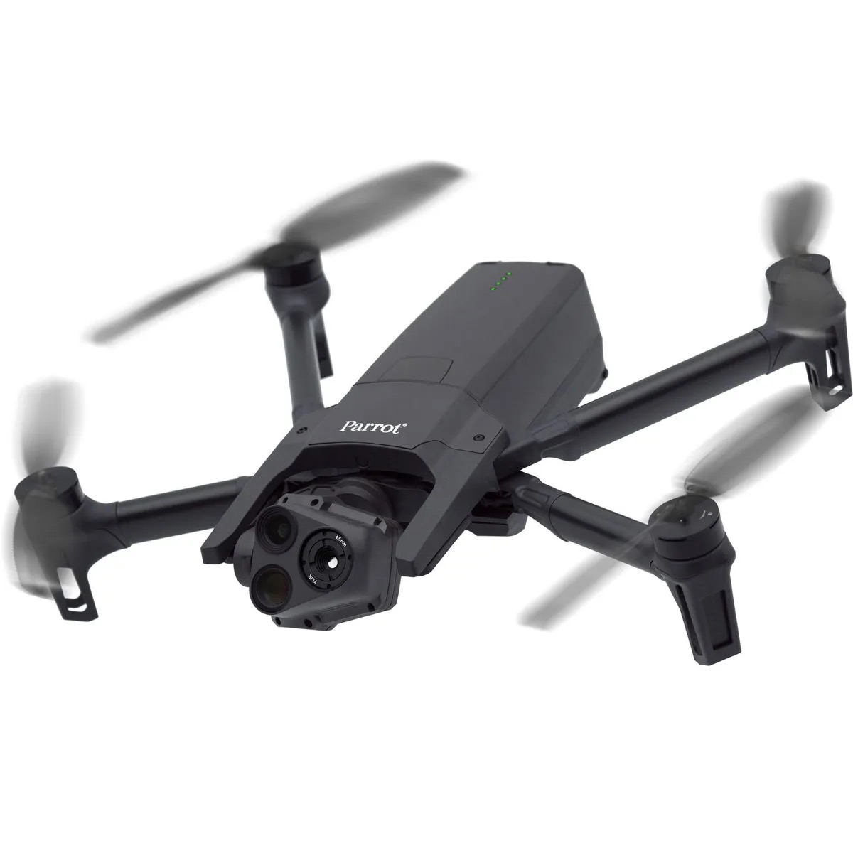
From initial site analysis to ongoing project monitoring, our drone services deliver accurate, cost-effective solutions for the construction industry.
Quick, comprehensive site data with 3D geospatial mapping capabilities. GPS accuracy modules provide high-level precision for critical measurements.
Enhanced site inspections and safety monitoring with detailed progress tracking. Safe remote assessment eliminates personnel risk in dangerous areas.
Advanced building inspection, infrastructure documentation, and land use analysis. Access hard-to-reach areas without scaffolding or cranes.
See how our drone services transform construction projects with enhanced efficiency, safety, and accuracy.
Comprehensive aerials provide project managers with detailed insights into construction progress, site conditions, and potential issues before they become costly problems.
Regular aerial photography tracks construction milestones and timeline adherence
Remote assessment eliminates personnel risk in dangerous areas
High-resolution imaging identifies potential issues early
Advanced technology delivers survey-grade accuracy for topographic mapping, and site planning with significantly reduced time and cost compared to traditional methods.
Our drone-powered roof analysis provide detailed assessments without the risks associated with traditional methods. Get high-resolution imagery of your entire roofing system to identify damage, leaks, and potential problems before they escalate.
Quickly evaluate roof integrity after severe weather events
Transform your construction projects with technology that delivers superior results while reducing costs, time, and safety risks.
Significantly cheaper than traditional analysis methods with faster data collection and processing.
Complete comprehensive analysis in hours instead of weeks, accelerating project timelines.
Eliminate personnel risk in dangerous areas while maintaining comprehensive site assessment capabilities.
Reach hard-to-access areas without scaffolding, cranes, or putting personnel at risk.
Get in touch with our drone experts to discuss your project requirements and receive a customized quote.
Speak directly with our specialists
Receive detailed project scope and pricing
Professional site evaluation and planning